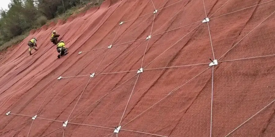
The hills that frame San Jose aren't just scenic backdrops—they're active geological formations shaped by the Calaveras and Hayward fault zones, and they demand serious geotechnical attention. With average annual rainfall hovering around 15 inches, it's the concentrated winter storms hitting the dry, cracked clay slopes of the East Foothills that trigger most instability. The wildcard here is seismicity. A slope that looks stable on paper can fail catastrophically during a moderate earthquake if the pore pressure buildup isn't modeled correctly. We combine decades of regional expertise with advanced limit-equilibrium and finite-element modeling to evaluate both static and pseudo-static conditions. For deep-seated failures in the weak Franciscan Complex bedrock that underlies much of the city, we often pair the analysis with stone columns as a ground improvement strategy before any foundation work begins.
A 1.1 seismic factor of safety in the Silver Creek hills means something very different than the same number in flat North San Jose—we interpret the code, not just apply it.
Site-specific factors
We run the analysis on high-resolution digital terrain models built from drone surveys, which lets us pick up on subtle geomorphic features—old landslide scarps, tension cracks, seeps—that a standard topographic map would miss. For the actual computation, we use both limit-equilibrium software and, when the project justifies it, finite-element strength reduction models that simulate progressive failure without predefining a slip surface. What makes San Jose tricky is the dry-wet cycling: summers bake the surface clay into a low-permeability crust, then winter rains saturate the upper few feet, creating a perched water table that reduces effective stress right at the most critical zone. If the model doesn't account for this transient seepage, you get a dangerously optimistic factor of safety. In areas like Alum Rock with known landslide complexes, the analysis also feeds directly into the flexible pavement design to handle post-construction settlement.
Common questions
How much does a slope stability analysis cost in San Jose?
For a typical single-family residential lot in the San Jose hills, the analysis runs between US$1,110 and US$4,160 depending on the slope height, complexity of the stratigraphy, and whether we need to run both static and seismic cases. A large commercial subdivision with multiple cross-sections and 3D modeling will be on the higher end or above that range, and we'll give you a fixed-fee proposal after seeing the preliminary grading plan.
What triggers a mandatory slope stability review by the City of San Jose?
The City will require it if your project is on a slope steeper than 20 percent, within a mapped landslide hazard zone, or if you're cutting or filling more than five feet in height. The geotechnical report must be stamped by a California-licensed Civil or Geotechnical Engineer and submitted as part of the building permit package.
Can you reuse existing soil data from a previous geotechnical report?
Sometimes. If the previous borings are on your parcel, were logged by a licensed engineer, and the samples are representative of the slope materials, we can incorporate that data into the stability model. But we almost always need at least one new deep boring to confirm conditions at the failure plane depth and to install a piezometer for groundwater monitoring.
How long does a slope stability study take from start to finish?
For a single-family lot, expect about three to four weeks: one week for field exploration and drilling, one week for lab testing of shear strength on undisturbed samples, and one to two weeks for the modeling and report writing. Complex projects with multiple cross-sections or 3D FEM analysis can take five to six weeks.