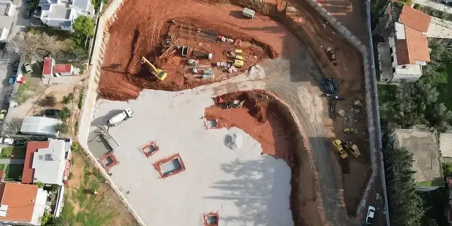
San Jose's transformation from agricultural valley to tech capital pushed construction into challenging ground. The Santa Clara Valley sits on deep alluvial deposits hundreds of feet thick, with layers of compressible Bay Mud near the historic shoreline. Every downtown high-rise and transit tunnel here contends with groundwater just 5 to 15 feet below surface. Our team has worked these formations from North San Jose to the Coyote Creek corridor. We've seen how a misjudged shoring design cascades into costly delays. Getting the excavation support right in this city demands more than textbook solutions. It requires direct expertise with the local stratigraphy and the seismic demands specific to the Calaveras and Hayward fault proximity.
In the Santa Clara Valley, we don't design for static conditions. We design for the ground motion that comes from faults within 15 miles of the site.
Approach and scope
A common mistake we encounter in San Jose is treating the stiff upper crust of alluvium as representative of the full excavation depth. Contractors drill to 15 feet, hit dense gravel, and assume the rest is similar. Then they excavate deeper and punch through into soft, saturated clay lenses nobody budgeted for. The water comes fast, the sides start sloughing, and suddenly the
slope stability assumptions are invalid. Proper deep excavation design here means continuous characterization through the entire planned depth, not just the upper weathered zone. We map the transition from Holocene alluvium into the deeper Santa Clara Formation, identifying perched water tables that separate from the regional aquifer. Our designs incorporate internal bracing, tieback anchors, or secant pile walls depending on adjacent infrastructure sensitivity. For urban sites in San Jose, where zero-lot-line conditions are typical, we routinely specify soldier pile and lagging systems with carefully sequenced excavation stages to limit ground loss and protect adjacent foundations.
Site-specific factors
San Jose sits just 13 miles from the Calaveras Fault and 20 miles from the Hayward Fault, with a population exceeding one million. A deep excavation here is not just a soil mechanics problem. It is a seismic performance problem. The 1989 Loma Prieta earthquake, while centered further south, reminded the entire Bay Area how quickly saturated alluvium loses strength under cyclic loading. In our designs for San Jose excavations, we run post-earthquake displacement analyses that account for the reduced shear strength of Bay Mud during shaking. The biggest risk we mitigate is not wall collapse under static conditions. It is the incremental movement that damages adjacent fiber optic lines, gas mains, and building foundations during a moderate seismic event. Our approach follows the performance-based procedures outlined in ASCE 7, with site-specific ground motion parameters derived from USGS hazard maps for the San Jose quadrangle.
Common questions
What is the typical cost range for geotechnical design of a deep excavation in San Jose?
For a typical urban excavation in San Jose, the geotechnical design package ranges from US$2,230 for a straightforward single-family lot shoring plan to US$8,140 for a complex multi-level excavation with tiebacks and extensive instrumentation specifications. The final fee depends on depth, proximity to adjacent structures, and the complexity of the groundwater control system required.
How do you handle groundwater during deep excavation in the Santa Clara Valley?
We design dewatering systems sized for the high permeability of the alluvial gravels and the lower permeability of the interbedded clays. This often means a combination of deep wells for the gravel layers and vacuum-assisted wellpoints for the finer soils. We also check for the potential of hydraulic uplift in the excavation base and design relief wells or a deeper cutoff wall if the factor of safety is below 1.5.
What seismic provisions do you include in deep excavation design for San Jose?
We incorporate the design spectral accelerations from the USGS Seismic Design Geodatabase for the specific site coordinates. The design includes a pseudostatic analysis of the shoring wall, a Newmark-type sliding block analysis for permanent displacement estimates, and a check for liquefaction potential in any loose saturated sand layers within the zone of influence. We follow the performance-based framework in ASCE 7-22.